Minnesota Weather Authority issues severe storm alert for Wednesday afternoon
Forecasters warn of hail, strong winds, and isolated tornadoes as a storm line approaches the Twin Cities after midday.
By Adrian Romano ·
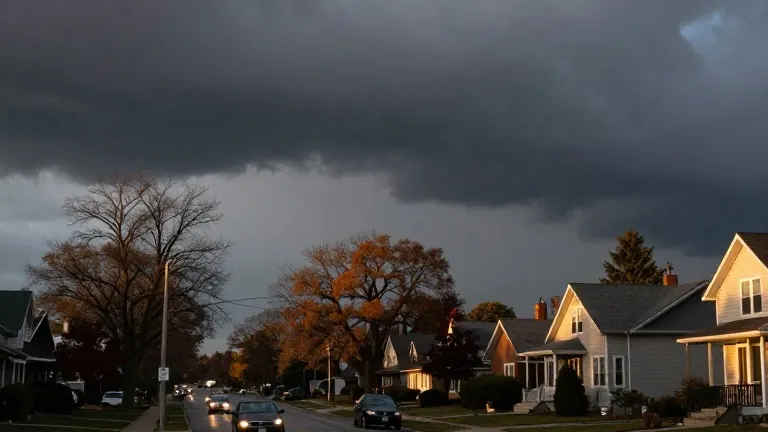
Ken Barlow, the state's weather authority, issued an alert on Wednesday for possible severe thunderstorms. The warning covers the afternoon and early evening hours.
A line of showers and thunderstorms is expected to form west of the Twin Cities around midday. The storms will strengthen and move into the west metro area after 3 p.m.
Residents should expect heavy rain, hail, and wind gusts exceeding 60 mph. Isolated tornadoes are also possible as the system moves through the metro area during the afternoon and evening drive.
Wednesday will mark the warmest day of the week. Temperatures will rise quickly into the 60s and lower 70s across the state. This stands out because late October afternoons typically reach only the lower 50s.
Thursday and Friday will bring brighter skies with temperatures climbing into the 50s and 60s. Halloween on Saturday is expected to be mild, with temperatures near 60 degrees at sunset. A few rain showers may occur, but the day is not expected to be a washout.
Daylight Saving Time ends at 2 a.m. Sunday. Residents will turn their clocks back one hour before bed on Halloween night.